19 November 2024
ACRES pointing the way for upland improvements
ACRES – the Agri-Climate Rural Environment Scheme – is aiding in identifying the ecological and hydrological integrity, and threats and pressures facing Ireland’s uplands.
Speaking from the recent Uplands Symposium – an event jointly organised by Teagasc and CAFRE – John Muldowney, Principal Officer at the Department of Agriculture, Food and the Marine’s Agricultural, Environmental and Structures (AES) Division, provided an overview of the potential improvements in upland management that can be achieved through the results-based agri-environmental scheme. A key element of Ireland’s CAP Strategic Plan, Muldowney explained that 1.5 million hectares are enrolled in ACRES, of which ~1.1 million hectares have now been scored.
“That’s providing a phenomenal baseline set of information to help farmers and Co-operation teams better target the right action in the right place and to help farmers deliver on environmental targets.
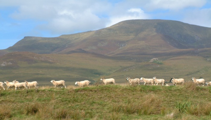
“From a carbon pool, water quality and biodiversity perspective, uplands, commonages, peat lands and blanket bogs are key habitats that we need to work together on to improve. Peatlands and uplands are a critical component of habitats that farmers are trying to protect through ACRES,” Muldowney said.
The starting point to making improvements in these habitats begins with scoring under the ACRES programme, with Muldowney noting that all enrolled commonages – both those inside and outside designated areas – are assessed by Co-operation (CP) teams, who use a results-based habitat scorecard to assess their ecological condition and to identify any threats to the integrity of the habitat.
“The scorecards are designed to pick up on the species, the ecological component of the landscape, the hydrological integrity of it and other threats and pressures such as encroachment of invasive species. Identifying the threats allows the score to reflect the problem, farmers to see it and then try to address the issues that are being identified,” he added.
Approximately 420,000ha of commonages have been scored, he added, while a further 166,500ha of privately owned land with peatland have been scored. Of the ACRES scorecards completed for commonage areas, 395,000ha are classified as peatland, resulting in the generation of some interesting results in relation to vegetation structure.
Summary of results from peatland scorecards:
- 8% of peatlands were classified as good. These had an abundance of grass and sedges. Hummocks, hollows and pools were present on bogs and all stages of heather growth was present on heaths. A mix of bog/heath vegetation was present throughout and the moss, sedge/herb and scrub layer were all present.
- 5% of peatlands were classified as being moderately under-grazed.
- 6% of peatlands scored were identified as being moderately over-grazed.
- 5% of peatlands scored were classed as under-grazed. These had a rank sward, with a high proportion of purple moor grass, mat grass or senescent heather present. A high litter count was also witnessed and thatch was forming.
- Just 1.7% of the peatland areas scored were classified as being over-grazed, featuring a uniformly low vegetation height with poor structure.
Through his presentation at the Uplands Symposium, John Muldowney also provided an overview of the key numbers involved in ACRES, its structure and Non-Productive Investments.
For further details, view John Muldowney’s presentation to the Uplands Symposium here.